RunRace USA › Ohio › Cleveland Marathon › The course
The Cleveland Marathon course
26.2 miles, about 716 modeled feet of climb, and two hills that matter.
Fly the course
Run all four race-weekend courses through a live 3D Cleveland. Choose the marathon, half, 10K or 5K, then switch between a cinematic chase, runner-eye and aerial view. The roads follow the organizer's current published course files; the skyline, lakefront, river bridges, parks and elevation are drawn around that route in real time.
Route statusLatest official published course set: 2026. The 2027 weekend is open, but no replacement 2027 route geometry has been posted yet. Checked September 4, 2026.
The four route lines come from the organizer's current published files. Public-domain USGS and USDA aerial photography plus USGS 3DEP elevation are baked into RunRace USA, so the flyover uses no paid map API or third-party runtime requests. Buildings, roads and shoreline use OpenStreetMap, ODbL; signature Cleveland landmarks are calibrated by hand. Map services and data available from U.S. Geological Survey, National Geospatial Program. This is photographic terrain with modeled architecture, not photogrammetry. Bridge approaches, elevations and facade details are approximations; the organizer's published route remains the reference. Cleveland landmarks, neighborhood buildings and street objects include original Blender-authored models. Street names follow mapped intersections. Fine architectural details, sign supports and unmapped street furniture are interpreted, not surveyed; this is not photogrammetry. Across the mapped course environment, background building materials, recessed windows and entrances, residential roofs, rooftop fittings and tree canopies are illustrative interpretations, not individually verified architecture. Detailed landmark models take precedence. Additional missing building outlines use Cuyahoga County 2023 Building Footprints, provided as-is; their heights and architecture are inferred. Course-side pavement and sidewalk widths are illustrative, follow mapped roads, and fade into the original aerial imagery. The route is solid on visible streets and faintly dashed behind foreground structures. Blender-built curb edges, roof coping, ridge caps, vents and additional street trees are inferred details; photographic vehicles, foliage and shadows may remain beneath the modeled scene. St. Theodosius shows a simplified restoration-state exterior from March–July 2026 sources; roof staging may differ. Selected aerial-view areas, including a small downtown start/finish section, use sharper public-domain Cuyahoga County and Ohio Statewide Imagery Program (OSIP) Spring 2023 aerials, resampled by RunRace USA. This is not whole-course imagery or a current capture; vehicles and shadows remain baked into the photographs. Sharper imagery is not used in runner view.
Elevation, hill by hill
The modeled trace lives inside roughly 100 feet of elevation, and about 716 feet of total climb is modest for a marathon. Both of those numbers hide the same thing: the climbing is not spread out. Two hills carry most of it.
- Scranton Hill, mile 6.9 to 7.8: 100 feet up, roughly 3.4% at its steepest, from mile 7.2 to 7.6.
- The Shoreway climb, mile 23.9 to 24.6: 80 feet up, roughly 3% for the middle half mile.
This Half marathon profile covers 13.1 miles, ranges from roughly 573 to 688 feet, and contains about 374 feet of modeled climb.
- Scranton Hill, mile 6.9 to 7.8: 100 feet up.
This 10K profile covers 6.2 miles, ranges from roughly 594 to 664 feet, and contains about 155 feet of modeled climb.
This 5K profile covers 3.1 miles, ranges from roughly 594 to 658 feet, and contains about 85 feet of modeled climb.
Click anywhere on the profile to jump the flythrough to that mile. Shaded bands mark the selected course's featured climbs.
The course on a map
Gold is the marathon course: downtown, the lakefront, the Flats, Tremont, Ohio City, Edgewater and Lakewood, then home on the Shoreway.
Gold is the half marathon course. It shares the full route through downtown, the Flats, Tremont and Ohio City, then splits at West Huron for the St. Clair finish.
Gold is Saturday's 10K: North Coast Harbor first, then a longer downtown loop through Euclid, Cleveland State and Public Square before returning to Mall B.
Gold is Saturday's 5K: North Coast Harbor, the Lakeside turnaround, Public Square and the return to Mall B.
Mile by mile
Modeled elevation change comes from the organizer-linked GPS course file. The race cautions that GPS can follow the ground below bridges and create false elevation changes, so use these profiles to read the course's overall shape—not as survey data. Every sparkline uses one shared vertical scale, making the miles directly comparable.
| Mile | Shape | Modeled net | What happens |
|---|---|---|---|
| 1 | +13 ft | St. Clair, Superior, Public Square Downtown, corral crush, and a right through the square. Whatever pace you run this mile, the next one will feel easier, which is exactly the trap. | |
| 2 | -15 ft | Euclid Avenue east Playhouse Square and the long straight. Nine feet of downhill and a clean wide road. This is the single most commonly over-run mile of the Cleveland Marathon. | |
| 3 | -7 ft | East 22nd, Payne, East 13th Cleveland State, then the turn north. The field thins for the first time and you can finally see pavement. | |
| 4 | -4 ft | Superior, East 24th, St. Clair, Lakeside Flat grid running through the northeast quadrant. Quiet. Settle in. | |
| 5 | -27 ft | East 9th to Erieside Out to the lake past the Rock Hall and the stadium. A gentle descent and the first open wind of the day. | |
| 6 | -12 ft | West Lakeside, West 9th, Front Avenue The drop off the bluff into the Flats. Feels like free speed. It is, but you are borrowing against mile 7. | |
| 7 | -6 ft | Old River Road, Carter Road Bridge Water level along the Cuyahoga, then over the bridge. The road turns up at the end of this mile. | |
| 8 | +83 ft | Scranton Road, Starkweather Scranton Hill. Ninety-four feet across the mile, 3.4 percent at its steepest between 7.2 and 7.6. Give back fifteen to twenty seconds and take them all back in miles 9 through 12. | |
| 9 | +7 ft | West 14th, Buhrer Up on the Tremont bluff. The hard part is behind you and your legs have not agreed yet. | |
| 10 | -4 ft | West 11th, Clark, West 14th The Tremont neighbourhood loop. Lincoln Park's cheer party lands at 9.7. Flat, loud, and easy to run too fast on. | |
| 11 | +6 ft | Starkweather, Professor, Fairfield The best-looking mile on the course. Brick, porches, and the crowd three deep on Professor. | |
| 12 | -21 ft | Abbey, West 19th, Lorain Onto Lorain at West 20th, a few blocks east of the West Side Market. Wide, gently downhill, and fast. | |
| 13 | +22 ft | Ontario, Public Square, West Huron Through the square for the second time, then west toward the bridge. | |
| 14 | -8 ft | Detroit-Superior Bridge, Detroit Avenue The half split away at West Huron just before the bridge, so this mile is abruptly yours. Twenty feet of climb and a much quieter road. Do not chase the pace the crowd left with. | |
| 15 | -14 ft | Detroit Avenue, Gordon Square Storefront cheering the whole way. Saucy Brew Works and Harness Cycle are here, and you get them again at 25.1 coming home. | |
| 16 | -37 ft | Detroit, Lake Avenue, Clifton A quick drop onto the lake plain. The fastest mile on the second half if you let it be. | |
| 17 | +19 ft | West Boulevard, Cliff Drive, Edgewater Into Edgewater Park past the script sign, with the skyline behind you across the water. Eighteen feet back up on the far side. | |
| 18 | -3 ft | West 115th, Lake Avenue Onto Lake Avenue proper. Trees, big houses, and a road that goes straight for a very long time. | |
| 19 | -7 ft | Lake Avenue, Lakewood Lakewood Park and the drumline. Ten feet down and a crowd that shows up. | |
| 20 | +4 ft | Lake Avenue to the U-turn The turnaround at 19.5, the furthest point of the day from the finish. Tri Cleveland's cheer zone is the loudest thing on the west side. | |
| 21 | +10 ft | Lake Avenue, eastbound Same road, other direction, and now you know exactly how long it is. | |
| 22 | -7 ft | Lake Avenue, West 115th The last of the residential miles. If a bad patch is coming, it starts somewhere in here. | |
| 23 | 0 ft | Edgewater Drive, Cliff Drive Back through the park. Forty-seven feet up and fifty back down inside one mile, which reads harder at 23 than it did at 17. | |
| 24 | -37 ft | Eastbound Shoreway A closed highway with a lake on one side and no spectators on either. Thirty-five feet down to the low point at 23.9, and then it turns. | |
| 25 | +68 ft | Shoreway climb, West 45th exit Eighty-one feet up. The second real hill of the day, at mile 24, on a highway. Everything about the finish depends on how you handle this three quarters of a mile. | |
| 26 | -23 ft | Detroit Avenue, West 9th, St. Clair Downhill and downtown. St. Malachi's at 25.3 is a Cleveland tradition. Left on West 9th, right on St. Clair, done. |
Aid stations, water and gels
Thirteen numbered physical stops create eighteen on-course encounters: five out-and-back locations serve runners twice. Every stop pours water and Gatorade Endurance lemon-lime and has a University Hospitals first aid tent. Gu is at stops 4, 9 and 11; the marathon passes stop 11 twice, for four gel opportunities.
| Mile | Station | On the table |
|---|---|---|
| 1.7 | Stop #1 | Water, Gatorade Endurance, UH first aid |
| 3.8 | Stop #2 | Water, Gatorade Endurance, UH first aid |
| 5.3 | Stop #3 | Water, Gatorade Endurance, UH first aid |
| 6.8 | Stop #4 | Water, Gatorade Endurance, UH first aid, Gu Energy Gel |
| 8.3, 9.2 | Stop #5 | Water, Gatorade Endurance, UH first aid |
| 10.7 | Stop #6 | Water, Gatorade Endurance, UH first aid |
| 12.3 | Stop #7 | Water, Gatorade Endurance, UH first aid |
| 13.6, 25.4 | Stop #8 | Water, Gatorade Endurance, UH first aid |
| 15.3 | Stop #9 | Water, Gatorade Endurance, UH first aid, Gu Energy Gel |
| 16.4, 22.7 | Stop #10 | Water, Gatorade Endurance, UH first aid |
| 17.7, 21.3 | Stop #11 | Water, Gatorade Endurance, UH first aid, Gu Energy Gel |
| 18.9, 20.1 | Stop #12 | Water, Gatorade Endurance, UH first aid |
| 24.2 | Stop #13 | Water, Gatorade Endurance, UH first aid |
Stop positions come from the race's own course file; miles are where the course line actually passes each table, so a stop that serves two passes is listed at both. Gel flavors on course have been Salted Caramel, Vanilla Bean, Chocolate Outrage, Tri Berry, Strawberry Banana and Raspberry Lemonade. Carry your own if you have a flavor opinion.
The half, which runs the same Sunday
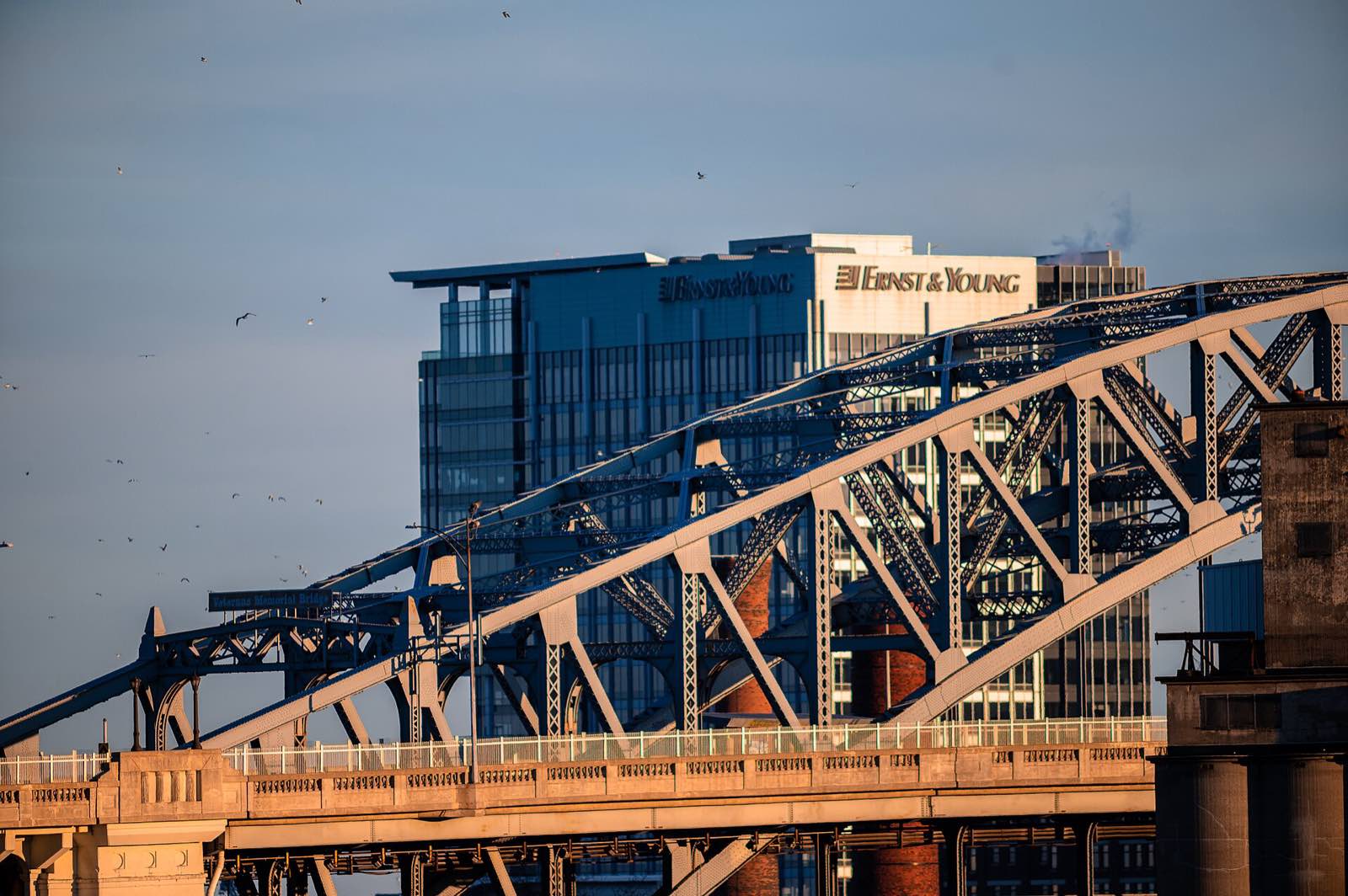
The half marathon starts beside the full at 7:00 a.m. and runs the same streets for its entire first twelve and a half miles: downtown, the lakefront, the Flats, Scranton Hill, Tremont and Ohio City. At West Huron, just before the Detroit-Superior Bridge, it splits for home and finishes on the same St. Clair line. Flip the player above to 13.1 to fly it.
About 374 modeled feet of climb, and Scranton Hill at mile 7 is every bit of it that matters: the half takes the marathon's hardest hill without the marathon's mile-24 payback. Aid runs at seven physical stops, with the Gu table at stop 4 just before the hill.
The other distances
All four races start and finish beside Mall B. The half mirrors the marathon through West Huron, then bears right for home while the marathon turns left onto Detroit. Saturday's 5K and 10K share the lakefront opening before the 5K turns back and the 10K continues through downtown.
| Race | Race distance | Modeled climb | Day |
|---|---|---|---|
| Marathon | 26.2 mi | about 720 ft | Sunday, 7:00 a.m. |
| Half Marathon | 13.1 mi | about 370 ft | Sunday, 7:00 a.m. |
| 10K | 6.2 mi | about 160 ft | Saturday, 7:30 a.m. |
| 5K | 3.1 mi | about 80 ft | Saturday, 7:30 a.m. |
Official turn-by-turn directions
Several downtown streets appear more than once on this course, so the organizer's ordered cue sheet is the authoritative turn list. It matches the latest published 2026 route used by the player.
Course records
| Men | 2:10:29 | Pavel Kokin, 2000 |
| Women | 2:30:15 | Tatyana Pozdnyakova, 1998 |
Both records predate the current route. The course has been redrawn several times, most recently to bring more of it onto the lakefront and into the west side neighbourhoods.
Course geometry provenance is stated beside the player; elevation profiles always use the same route loaded there. City geometry is OpenStreetMap, ODbL. Aerial imagery is from USGS and USDA; other images carry their own source credits. Weather figures use Open-Meteo reanalysis for May 12-20 across 2016-2025 at the start line. Schedule, prices and expo hours were checked in September 2026 and are the fields most likely to move: confirm them on www.clevelandmarathon.com before you book anything. Spot an error? Tell us and we'll fix it fast.